 vesseltracker.com
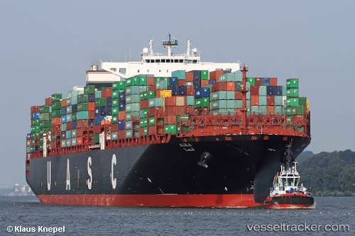
 ALULA EXPRESS
Current Status
Where is the vessel?
ALULA EXPRESS is currently in 94 nm E of Ubombo, based on AIS data received about 1h ago.
Latest AIS update:
Current position: 27.81010° S, 33.82642° E (94 nm E of Ubombo)
Average speed (last 7 days): Loading…
Average speed (last 30 days): Loading…
Vessel profile: ALULA EXPRESS is a Container Ship with dimensions m x m.
This page combines live AIS, route history, probable destination signals, nearby traffic, and port activity for practical vessel monitoring.
The current position of vessel ALULA EXPRESS is -27.81010 lat / 33.82642 lng. Updated: 2026-04-12 12:05:58 UTCNearest reference points:
- 42 nm E of Richards Bay
- 162 nm SE of Xai-Xai
- 163 nm SE of Richards Bay
Currently sailing under the flag of Liberia ![]()
Details:
Live Vessel ALULA EXPRESS Analytics (details, animations, etc.)
Recent AIS points (UTC):
2026-04-12 07:57:22 UTC · -28.83276, 33.02067 · SOG 17 kn · COG 34°2026-04-12 09:22:28 UTC · -28.49508, 33.28489 · SOG 17.4 kn · COG 34°
2026-04-12 10:15:58 UTC · -28.27671, 33.45365 · SOG 18 kn · COG 37°
2026-04-12 12:05:58 UTC · -27.81010, 33.82642 · SOG 18.8 kn · COG 39°