 vesseltracker.com
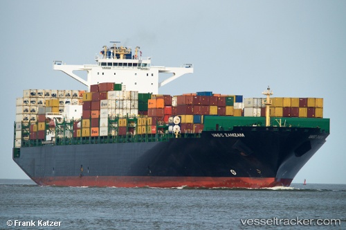
 SCI DELHI
Current Status
Where is the vessel?
SCI DELHI is currently in Near Mundra, based on AIS data received about 1h ago.
Latest AIS update:
Current position: 22.73667° N, 69.69667° E (Near Mundra)
Average speed (last 7 days): Loading…
Average speed (last 30 days): Loading…
Vessel profile: SCI DELHI is a Cargo A with dimensions m x m.
This page combines live AIS, route history, probable destination signals, nearby traffic, and port activity for practical vessel monitoring.
The current position of vessel SCI DELHI is 22.73667 lat / 69.69667 lng. Updated: 2026-04-17 00:08:56 UTCNearest reference points:
- Near Mundra
- Near SIKKA
- Near Sika
Currently sailing under the flag of Liberia ![]()
Details:
Live Vessel SCI DELHI Analytics (details, animations, etc.)
Recent AIS points (UTC):
2026-04-16 15:54:54 UTC · 22.73811, 69.69823 · SOG 0 kn · COG 269°2026-04-16 19:39:57 UTC · 22.73806, 69.69823 · SOG 0 kn · COG 270°
2026-04-16 22:06:56 UTC · 22.73798, 69.69828 · SOG 0 kn · COG 270°
2026-04-17 00:08:56 UTC · 22.73667, 69.69667 · SOG 0 kn · COG -1°