 vesseltracker.com
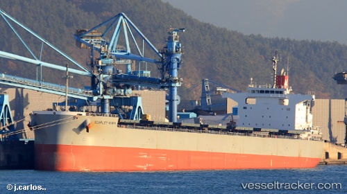
 NISEA
NISEA
Current Status
Where is the vessel?
NISEA is currently in 14 nm E of Boyne Island, based on AIS data received about 1h ago.
Latest AIS update:
Current position: 23.84558° S, 151.59227° E (14 nm E of Boyne Island)
Average speed (last 7 days): Loading…
Average speed (last 30 days): Loading…
Vessel profile: NISEA is a Cargo with dimensions m x m.
This page combines live AIS, route history, probable destination signals, nearby traffic, and port activity for practical vessel monitoring.
The current position of vessel NISEA is -23.84558 lat / 151.59227 lng. Updated: 2026-03-28 21:29:01 UTCNearest reference points:
- Near Boyne Island
- Near Gladstone Harbor
- Near ROSSLYN
Currently sailing under the flag of Liberia ![]()
Details:
Live Vessel NISEA Analytics (details, animations, etc.)
Recent AIS points (UTC):
2026-03-28 15:28:59 UTC · -23.84611, 151.59138 · SOG 0.2 kn · COG 132°2026-03-28 17:38:00 UTC · -23.84598, 151.59143 · SOG 0 kn · COG 131°
2026-03-28 19:53:53 UTC · -23.84500, 151.59167 · SOG 0 kn · COG -1°
2026-03-28 21:29:01 UTC · -23.84558, 151.59227 · SOG 0.1 kn · COG 169°