 vesseltracker.com
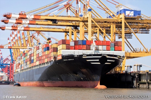
 NORWALK
Current Status
Where is the vessel?
NORWALK is currently in 62 nm E of Fort Dauphin, based on AIS data received about 1h ago.
Latest AIS update:
Current position: 24.82500° S, 48.12833° E (62 nm E of Fort Dauphin)
Average speed (last 7 days): Loading…
Average speed (last 30 days): Loading…
Vessel profile: NORWALK is a Container Ship with dimensions m x m.
This page combines live AIS, route history, probable destination signals, nearby traffic, and port activity for practical vessel monitoring.
The current position of vessel NORWALK is -24.82500 lat / 48.12833 lng. Updated: 2026-04-18 13:38:52 UTCNearest reference points:
- 106 nm S of Tsiombe
Currently sailing under the flag of Liberia ![]()
Details:
Live Vessel NORWALK Analytics (details, animations, etc.)
Recent AIS points (UTC):
2026-04-18 08:21:29 UTC · -24.04456, 49.35592 · SOG 15.4 kn · COG 235°2026-04-18 09:56:43 UTC · -24.27667, 48.98667 · SOG 15 kn · COG -1°
2026-04-18 12:14:00 UTC · -24.61863, 48.45957 · SOG 15.7 kn · COG 235°
2026-04-18 13:38:52 UTC · -24.82500, 48.12833 · SOG 15 kn · COG -1°