 vesseltracker.com
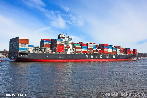
 WESTPORT
Current Status
Where is the vessel?
WESTPORT is currently in 84 nm W of Port Lincoln, based on AIS data received about 1h ago.
Latest AIS update:
Current position: 35.12342° S, 134.22687° E (84 nm W of Port Lincoln)
Average speed (last 7 days): Loading…
Average speed (last 30 days): Loading…
Vessel profile: WESTPORT is a Container Ship with dimensions m x m.
This page combines live AIS, route history, probable destination signals, nearby traffic, and port activity for practical vessel monitoring.
The current position of vessel WESTPORT is -35.12342 lat / 134.22687 lng. Updated: 2026-04-22 00:17:55 UTCNearest reference points:
- 81 nm W of Port Lincoln
- Near Port Lincoln
Currently sailing under the flag of Liberia ![]()
Details:
Live Vessel WESTPORT Analytics (details, animations, etc.)
Recent AIS points (UTC):
2026-04-21 20:21:07 UTC · -35.29381, 135.16367 · SOG 11.1 kn · COG 279°2026-04-21 21:50:37 UTC · -35.23083, 134.83336 · SOG 11 kn · COG 280°
2026-04-21 22:40:18 UTC · -35.20186, 134.65491 · SOG 10.8 kn · COG 283°
2026-04-22 00:17:55 UTC · -35.12342, 134.22687 · SOG 10.4 kn · COG 283°