 vesseltracker.com
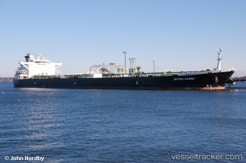
 TAGOR
TAGOR
Current Status
Where is the vessel?
TAGOR is currently in 76 nm NE of Ozerko, based on AIS data received about 9h ago.
Latest AIS update:
Current position: 70.54915° N, 34.90145° E (76 nm NE of Ozerko)
Average speed (last 7 days): Loading…
Average speed (last 30 days): Loading…
Vessel profile: TAGOR is a Crude Oil Tanker with dimensions m x m.
This page combines live AIS, route history, probable destination signals, nearby traffic, and port activity for practical vessel monitoring.
The current position of vessel TAGOR is 70.54915 lat / 34.90145 lng. Updated: 2026-04-10 07:13:48 UTCNearest reference points:
- 25 nm NE of Polyarnyy
- 36 nm E of Polyarnyy
- 23 nm N of Polyarnyy
Currently sailing under the flag of Madagascar ![]()
Details:
Live Vessel TAGOR Analytics (details, animations, etc.)
Recent AIS points (UTC):
2026-04-10 02:02:58 UTC · 70.52129, 34.57140 · SOG 1.3 kn · COG 357°2026-04-10 04:00:11 UTC · 70.52667, 34.70167 · SOG 1 kn · COG -1°
2026-04-10 05:19:23 UTC · 70.53086, 34.78212 · SOG 1.2 kn · COG 348°
2026-04-10 07:13:48 UTC · 70.54915, 34.90145 · SOG 1.4 kn · COG 347°