 vesseltracker.com
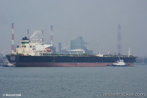
 NEMRUT
Current Status
Where is the vessel?
NEMRUT is currently in 62 nm NE of Kulhudhuffushi Port, based on AIS data received about 22h ago.
Latest AIS update:
Current position: 7.50511° N, 73.60275° E (62 nm NE of Kulhudhuffushi Port)
Average speed (last 7 days): Loading…
Average speed (last 30 days): Loading…
Vessel profile: NEMRUT is a Oil Products Tanker with dimensions m x m.
This page combines live AIS, route history, probable destination signals, nearby traffic, and port activity for practical vessel monitoring.
The current position of vessel NEMRUT is 7.50511 lat / 73.60275 lng. Updated: 2026-04-20 00:26:39 UTCNearest reference points:
- 45 nm SW of Kalpeni Island
Currently sailing under the flag of Madagascar ![]()
Details:
Live Vessel NEMRUT Analytics (details, animations, etc.)
Recent AIS points (UTC):
2026-04-20 00:26:39 UTC · 7.50511, 73.60275 · SOG 12.3 kn · COG 105°2026-04-20 00:26:39 UTC · 7.50511, 73.60275 · SOG 12.3 kn · COG 105°
2026-04-20 00:26:39 UTC · 7.50511, 73.60275 · SOG 12.3 kn · COG 105°
2026-04-20 00:26:39 UTC · 7.50511, 73.60275 · SOG 12.3 kn · COG 105°