 vesseltracker.com
 MISHELL
Current Status
Where is the vessel?
MISHELL is currently in Near EL DEKHEILA, based on AIS data received about 1h ago.
Latest AIS update:
Current position: 31.20342° N, 29.72579° E (Near EL DEKHEILA)
Average speed (last 7 days): Loading…
Average speed (last 30 days): Loading…
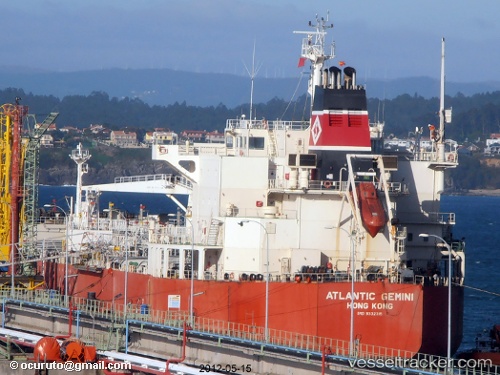
Vessel profile: MISHELL is a Oil/Chemical Tanker with dimensions m x m.
This page combines live AIS, route history, probable destination signals, nearby traffic, and port activity for practical vessel monitoring.
The current position of vessel MISHELL is 31.20342 lat / 29.72579 lng. Updated: 2026-04-20 12:11:23 UTCNearest reference points:
- Near EL DEKHEILA
- Near Alexandria
- 13 nm W of EL DEKHEILA
Currently sailing under the flag of Madagascar ![]()
Details:
Live Vessel MISHELL Analytics (details, animations, etc.)
Recent AIS points (UTC):
2026-04-20 07:50:27 UTC · 31.20339, 29.72581 · SOG 0.1 kn · COG 308°2026-04-20 10:02:31 UTC · 31.20326, 29.72561 · SOG 0.1 kn · COG 317°
2026-04-20 10:20:26 UTC · 31.20336, 29.72572 · SOG 0.2 kn · COG 310°
2026-04-20 12:11:23 UTC · 31.20342, 29.72579 · SOG 0.1 kn · COG 311°