 vesseltracker.com
 AMAK
AMAK
Current Status
Where is the vessel?
AMAK is currently in 141 nm W of Sebang, based on AIS data received about 2h ago.
Latest AIS update:
Current position: 6.28005° N, 92.97983° E (141 nm W of Sebang)
Average speed (last 7 days): Loading…
Average speed (last 30 days): Loading…
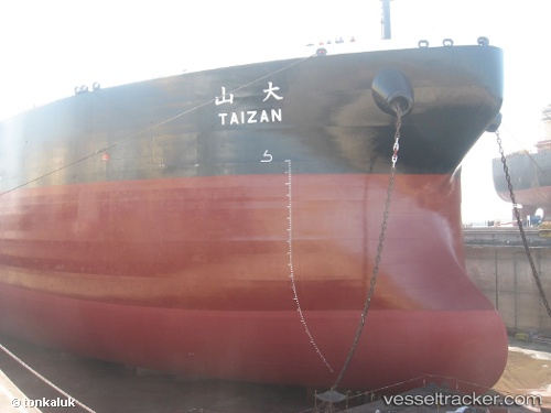
Vessel profile: AMAK is a Crude Oil Tanker with dimensions m x m.
This page combines live AIS, route history, probable destination signals, nearby traffic, and port activity for practical vessel monitoring.
The current position of vessel AMAK is 6.28005 lat / 92.97983 lng. Updated: 2026-04-08 03:15:26 UTCNearest reference points:
- 160 nm W of Sebang
- 172 nm W of LHOKNGA
- 80 nm W of Sebang
Currently sailing under the flag of Madagascar ![]()
Details:
Live Vessel AMAK Analytics (details, animations, etc.)
Recent AIS points (UTC):
2026-04-08 00:01:26 UTC · 6.29438, 93.60568 · SOG 11.2 kn · COG -1°2026-04-08 01:31:06 UTC · 6.28486, 93.32020 · SOG 11.8 kn · COG -1°
2026-04-08 03:15:26 UTC · 6.28005, 92.97983 · SOG 11.7 kn · COG -1°
2026-04-08 03:15:26 UTC · 6.28005, 92.97983 · SOG 11.7 kn · COG -1°