 vesseltracker.com
 XI
XI
Current Status
Where is the vessel?
XI is currently in 119 nm NE of Tinaquillo, based on AIS data received about 1h ago.
Latest AIS update:
Current position: 10.99673° N, 69.98399° E (119 nm NE of Tinaquillo)
Average speed (last 7 days): Loading…
Average speed (last 30 days): Loading…
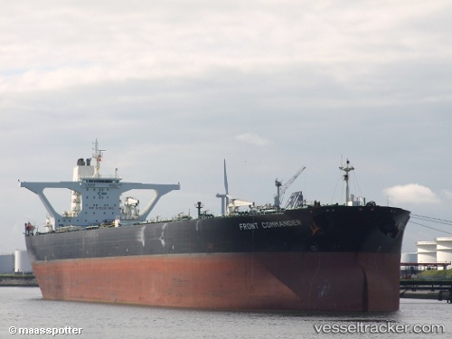
Vessel profile: XI is a Crude Oil Tanker with dimensions m x m.
This page combines live AIS, route history, probable destination signals, nearby traffic, and port activity for practical vessel monitoring.
The current position of vessel XI is 10.99673 lat / 69.98399 lng. Updated: 2026-04-01 16:24:53 UTCNearest reference points:
- 130 nm W of Lakshadweep
- 119 nm SE of Tinaquillo
- 202 nm NW of Amini Island
Currently sailing under the flag of Mali ![]()
Details:
Live Vessel XI Analytics (details, animations, etc.)
Recent AIS points (UTC):
2026-03-25 21:27:36 UTC · 11.00260, 70.01655 · SOG 15 kn · COG -1°2026-03-25 21:27:36 UTC · 11.00260, 70.01655 · SOG 15 kn · COG -1°
2026-03-25 21:27:36 UTC · 11.00260, 70.01655 · SOG 15 kn · COG -1°
2026-04-01 16:24:53 UTC · 10.99673, 69.98399 · SOG 0 kn · COG -1°