 vesseltracker.com
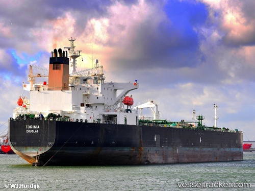
 SIRIUS1
Current Status
Where is the vessel?
SIRIUS1 is currently in 30 nm S of Sharm ash Shaykh, based on AIS data received less than 1h ago.
Latest AIS update:
Current position: 27.39890° N, 34.47783° E (30 nm S of Sharm ash Shaykh)
Average speed (last 7 days): Loading…
Average speed (last 30 days): Loading…
Vessel profile: SIRIUS1 is a Oil Products Tanker with dimensions m x m.
This page combines live AIS, route history, probable destination signals, nearby traffic, and port activity for practical vessel monitoring.
The current position of vessel SIRIUS1 is 27.39890 lat / 34.47783 lng. Updated: 2026-04-18 04:00:29 UTCNearest reference points:
- 19 nm SE of Zeit Bay
- 15 nm SW of Al Khuraibah
- Near El-Guna (El Gouna)
Currently sailing under the flag of Mali ![]()
Details:
Live Vessel SIRIUS1 Analytics (details, animations, etc.)
Recent AIS points (UTC):
2026-04-17 21:22:59 UTC · 27.40843, 34.49415 · SOG 0.5 kn · COG 30°2026-04-17 23:40:57 UTC · 27.40570, 34.47143 · SOG 0.6 kn · COG 51°
2026-04-18 01:44:07 UTC · 27.40557, 34.44965 · SOG 0.5 kn · COG 26°
2026-04-18 04:00:29 UTC · 27.39890, 34.47783 · SOG 1.3 kn · COG 27°