 vesseltracker.com
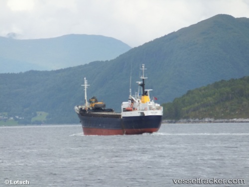
Vessel Freifjord IMO: 6524125, MMSI: 257238000 General Cargo Ship
UTC, 63.06574, 7.36984, course: 70, speed: 7.3
UTC, 63.04028, 7.48764, course: 242, speed: 0
2026-02-25 07:45:00 UTC, 63.04027, 7.48775, course: 241, speed: 0
Live AIS position:
UTC. Near Averøy),
updated 2026-02-25 07:45:00 UTC.
Find the position of the vessel Freifjord on the map. The latter are known coordinates and path.
marine traffic ship tracker show on live map
The current position of vessel Freifjord is 63.04027 lat / 7.48775 lng. Updated: 2026-02-25 07:45:00 UTCCurrently sailing under the flag of Norway
Freifjord built in 1965 year
Deadweight:
1150 tDetails:
Last coordinates of the vessel:
UTC, 62.96726, 6.86590, course: 46, speed: 7.1UTC, 63.06574, 7.36984, course: 70, speed: 7.3
UTC, 63.04028, 7.48764, course: 242, speed: 0
2026-02-25 07:45:00 UTC, 63.04027, 7.48775, course: 241, speed: 0