 vesseltracker.com
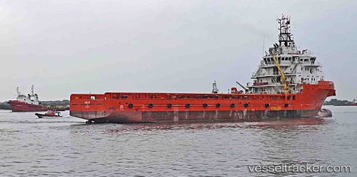
 ANAIAH
Current Status
Where is the vessel?
ANAIAH is currently in Near Erha Terminal, based on AIS data received about 1h ago.
Latest AIS update:
Current position: 5.34361° N, 4.34253° E (Near Erha Terminal)
Average speed (last 7 days): Loading…
Average speed (last 30 days): Loading…
Vessel profile: ANAIAH is a Offshore Supply Ship with dimensions m x m.
This page combines live AIS, route history, probable destination signals, nearby traffic, and port activity for practical vessel monitoring.
The current position of vessel ANAIAH is 5.34361 lat / 4.34253 lng. Updated: 2026-04-01 22:06:43 UTCNearest reference points:
- Near Escravos
- Near Apapa
- Near WARRI
Currently sailing under the flag of Nigeria ![]()
ANAIAH built in 2014 year
Deadweight:
5114 tDetails:
Live Vessel ANAIAH Analytics (details, animations, etc.)
Recent AIS points (UTC):
2026-04-01 15:26:00 UTC · 5.90500, 3.84167 · SOG 7 kn · COG -1°2026-04-01 17:29:04 UTC · 5.72833, 4.01833 · SOG 7 kn · COG -1°
2026-04-01 19:44:33 UTC · 5.51961, 4.19300 · SOG 6.6 kn · COG 146°
2026-04-01 22:06:43 UTC · 5.34361, 4.34253 · SOG 0.7 kn · COG 232°