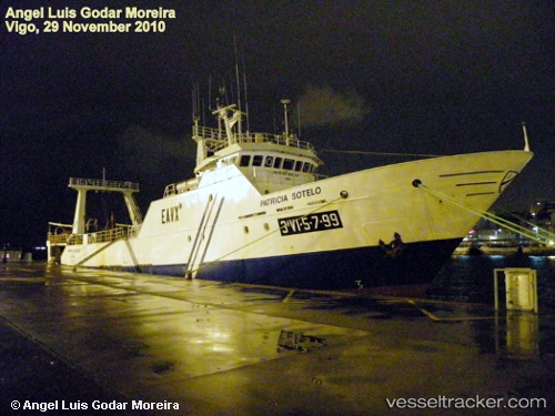
 vesseltracker.com
Omake
Current StatusWhere is the vessel?
Omake is currently in Near WALVIS BAY, based on AIS data received about 1h ago.
Latest AIS update:
Current position: 22.90754° S, 14.47806° E (Near WALVIS BAY)
Average speed (last 7 days): Loading…
Average speed (last 30 days): Loading…
Vessel profile: Omake is a Fishing Vessel with dimensions 10m x 51m.
This page combines live AIS, route history, probable destination signals, nearby traffic, and port activity for practical vessel monitoring.
The current position of vessel Omake is -22.90754 lat / 14.47806 lng. Updated: 2026-04-18 23:51:23 UTCNearest reference points:
- Near WALVIS BAY
Details:
Live Vessel Omake Analytics (details, animations, etc.)
Recent AIS points (UTC):
2026-04-18 17:33:23 UTC · -22.90752, 14.47833 · SOG 0.5 kn · COG 154°2026-04-18 19:23:35 UTC · -22.90667, 14.47667 · SOG 0 kn · COG -1°
2026-04-18 21:44:33 UTC · -22.90667, 14.47833 · SOG 0 kn · COG -1°
2026-04-18 23:51:23 UTC · -22.90754, 14.47806 · SOG 0 kn · COG 188°