 vesseltracker.com
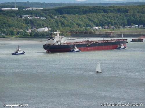
 BERRA
BERRA
Current Status
Where is the vessel?
BERRA is currently in 26 nm S of Kotka, based on AIS data received about 2h ago.
Latest AIS update:
Current position: 60.02216° N, 27.05921° E (26 nm S of Kotka)
Average speed (last 7 days): Loading…
Average speed (last 30 days): Loading…
Vessel profile: BERRA is a Crude Oil Tanker with dimensions m x m.
This page combines live AIS, route history, probable destination signals, nearby traffic, and port activity for practical vessel monitoring.
The current position of vessel BERRA is 60.02216 lat / 27.05921 lng. Updated: 2026-03-26 15:59:02 UTCNearest reference points:
- 27 nm S of Klamila
- Near Lakulahti
- 13 nm N of Viinistu Sadam
Currently sailing under the flag of Sierra Leone ![]()
Details:
Live Vessel BERRA Analytics (details, animations, etc.)
Recent AIS points (UTC):
2026-03-26 09:22:28 UTC · 60.02383, 27.05646 · SOG 0 kn · COG 209°2026-03-26 11:55:32 UTC · 60.02408, 27.05473 · SOG 0 kn · COG 187°
2026-03-26 14:16:34 UTC · 60.02318, 27.05783 · SOG 0 kn · COG 228°
2026-03-26 15:59:02 UTC · 60.02216, 27.05921 · SOG 0 kn · COG 261°