 vesseltracker.com
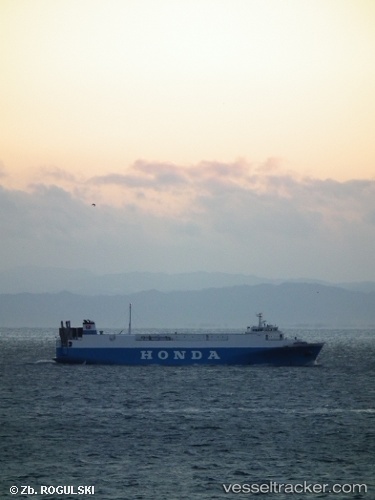
 ANGARA
Current Status
Where is the vessel?
ANGARA is currently in 56 nm NW of SENZAKI, based on AIS data received less than 1h ago.
Latest AIS update:
Current position: 35.12372° N, 130.51567° E (56 nm NW of SENZAKI)
Average speed (last 7 days): Loading…
Average speed (last 30 days): Loading…
Vessel profile: ANGARA is a Vehicles Carrier with dimensions 17m x 115m.
This page combines live AIS, route history, probable destination signals, nearby traffic, and port activity for practical vessel monitoring.
The current position of vessel ANGARA is 35.12372 lat / 130.51567 lng. Updated: 2026-04-22 03:48:21 UTCNearest reference points:
- 27 nm SE of ONSAN
- 30 nm NW of Hibiki-Nada
- 29 nm NW of Hibiki-Nada
Currently sailing under the flag of Sierra leone ![]()
ANGARA built in 1995 year
Deadweight:
2682 tDetails:
Live Vessel ANGARA Analytics (details, animations, etc.)
Recent AIS points (UTC):
2026-04-22 00:16:06 UTC · 35.93971, 130.28928 · SOG 14.5 kn · COG 166°2026-04-22 01:43:24 UTC · 35.59791, 130.37068 · SOG 14.2 kn · COG 165°
2026-04-22 01:48:34 UTC · 35.63965, 130.35899 · SOG 14.3 kn · COG 169°
2026-04-22 03:48:21 UTC · 35.12372, 130.51567 · SOG 13.1 kn · COG 169°