 vesseltracker.com
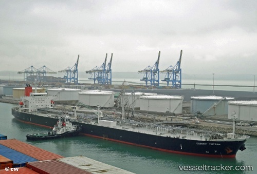
 MAVERICK
Current Status
Where is the vessel?
MAVERICK is currently in Near Tanjungbalai, based on AIS data received less than 1h ago.
Latest AIS update:
Current position: 1.07908° N, 103.30523° E (Near Tanjungbalai)
Average speed (last 7 days): Loading…
Average speed (last 30 days): Loading…
Vessel profile: MAVERICK is a Oil Products Tanker with dimensions m x m.
This page combines live AIS, route history, probable destination signals, nearby traffic, and port activity for practical vessel monitoring.
The current position of vessel MAVERICK is 1.07908 lat / 103.30523 lng. Updated: 2026-04-22 11:33:10 UTCNearest reference points:
- Near Tanjungbalai
- Near Nipah
- 19 nm W of Tanjong Bin
Currently sailing under the flag of Sierra Leone ![]()
Details:
Live Vessel MAVERICK Analytics (details, animations, etc.)
Recent AIS points (UTC):
2026-04-22 07:21:15 UTC · 1.07906, 103.30522 · SOG 0 kn · COG 180°2026-04-22 09:57:09 UTC · 1.07907, 103.30523 · SOG 0 kn · COG -1°
2026-04-22 10:06:12 UTC · 1.07907, 103.30524 · SOG 0 kn · COG -1°
2026-04-22 11:33:10 UTC · 1.07908, 103.30523 · SOG 0 kn · COG 180°