 vesseltracker.com
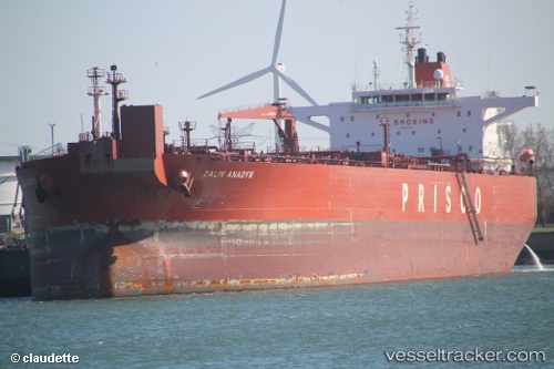
 CETUS
CETUS
Current Status
Where is the vessel?
CETUS is currently in 48 nm SW of Ras Isa Terminal, based on AIS data received less than 1h ago.
Latest AIS update:
Current position: 14.64569° N, 42.05897° E (48 nm SW of Ras Isa Terminal)
Average speed (last 7 days): Loading…
Average speed (last 30 days): Loading…
Vessel profile: CETUS is a Crude Oil Tanker with dimensions m x m.
This page combines live AIS, route history, probable destination signals, nearby traffic, and port activity for practical vessel monitoring.
The current position of vessel CETUS is 14.64569 lat / 42.05897 lng. Updated: 2026-04-13 17:37:21 UTCNearest reference points:
- 81 nm NW of As Salif
- 92 nm SW of Al Qahmah
Currently sailing under the flag of Sierra Leone ![]()
Details:
Live Vessel CETUS Analytics (details, animations, etc.)
Recent AIS points (UTC):
2026-04-13 11:29:00 UTC · 15.66574, 41.40250 · SOG 12.9 kn · COG 142°2026-04-13 14:10:09 UTC · 15.20830, 41.74187 · SOG 10.8 kn · COG 147°
2026-04-13 15:39:16 UTC · 14.98679, 41.90392 · SOG 11.2 kn · COG 156°
2026-04-13 17:37:21 UTC · 14.64569, 42.05897 · SOG 11.5 kn · COG 158°