 vesseltracker.com
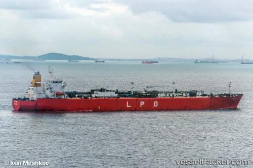
 GAS MARAKUA
Current Status
Where is the vessel?
GAS MARAKUA is currently in 39 nm SW of Dighi (Pune), based on AIS data received less than 1h ago.
Latest AIS update:
Current position: 17.81595° N, 72.44731° E (39 nm SW of Dighi (Pune))
Average speed (last 7 days): Loading…
Average speed (last 30 days): Loading…
Vessel profile: GAS MARAKUA is a Lpg Tanker with dimensions m x m.
This page combines live AIS, route history, probable destination signals, nearby traffic, and port activity for practical vessel monitoring.
The current position of vessel GAS MARAKUA is 17.81595 lat / 72.44731 lng. Updated: 2026-04-17 18:21:55 UTCNearest reference points:
- Near JAIGAD
- Near Mumbai
- Near HNB SEZ/Mumbai
Currently sailing under the flag of Sierra Leone ![]()
Details:
Live Vessel GAS MARAKUA Analytics (details, animations, etc.)
Recent AIS points (UTC):
2026-04-17 11:29:39 UTC · 17.81644, 72.44776 · SOG 0.1 kn · COG 306°2026-04-17 14:09:54 UTC · 17.81676, 72.44798 · SOG 0.2 kn · COG 285°
2026-04-17 15:56:44 UTC · 17.81689, 72.44788 · SOG 0 kn · COG 276°
2026-04-17 18:21:55 UTC · 17.81595, 72.44731 · SOG 0.3 kn · COG -1°