 vesseltracker.com
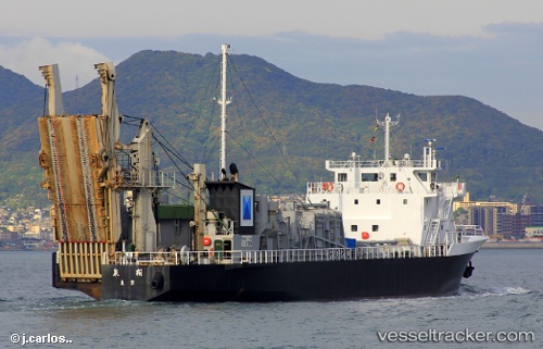
 OTANI
OTANI
Current Status
Where is the vessel?
OTANI is currently in 58 nm N of Ulleung-gun, based on AIS data received about 1h ago.
Latest AIS update:
Current position: 38.40886° N, 131.28362° E (58 nm N of Ulleung-gun)
Average speed (last 7 days): Loading…
Average speed (last 30 days): Loading…
Vessel profile: OTANI is a Cargo with dimensions m x m.
This page combines live AIS, route history, probable destination signals, nearby traffic, and port activity for practical vessel monitoring.
The current position of vessel OTANI is 38.40886 lat / 131.28362 lng. Updated: 2026-03-30 01:24:09 UTCNearest reference points:
- 33 nm NE of Ulleung-gun
- 96 nm N of Ulleung-gun
- 94 nm N of Dokdo
Currently sailing under the flag of Togo ![]()
Details:
Live Vessel OTANI Analytics (details, animations, etc.)
Recent AIS points (UTC):
2026-03-29 19:52:07 UTC · 37.31424, 131.17244 · SOG 11.2 kn · COG 7°2026-03-29 22:04:09 UTC · 37.73707, 131.22716 · SOG 11.8 kn · COG 3°
2026-03-29 23:25:48 UTC · 38.01259, 131.25046 · SOG 12 kn · COG 6°
2026-03-30 01:24:09 UTC · 38.40886, 131.28362 · SOG 12 kn · COG 6°