 vesseltracker.com
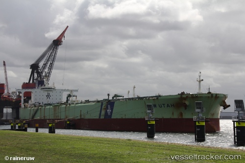
 KITAKAZE
Current Status
Where is the vessel?
KITAKAZE is currently in 249 nm SE of Rawson, based on AIS data received about 1h ago.
Latest AIS update:
Current position: 45.35621° S, 60.06756° W (249 nm SE of Rawson)
Average speed (last 7 days): Loading…
Average speed (last 30 days): Loading…
Vessel profile: KITAKAZE is a Crude Oil Tanker with dimensions m x m.
This page combines live AIS, route history, probable destination signals, nearby traffic, and port activity for practical vessel monitoring.
The current position of vessel KITAKAZE is -45.35621 lat / -60.06756 lng. Updated: 2026-04-18 19:48:01 UTCCurrently sailing under the flag of Tanzania ![]()
Details:
Live Vessel KITAKAZE Analytics (details, animations, etc.)
Recent AIS points (UTC):
2026-04-18 13:55:52 UTC · -45.81198, -60.15466 · SOG 4.2 kn · COG -1°2026-04-18 16:15:51 UTC · -45.64628, -60.11689 · SOG 4.8 kn · COG -1°
2026-04-18 17:35:38 UTC · -45.53621, -60.09741 · SOG 5 kn · COG -1°
2026-04-18 19:48:01 UTC · -45.35621, -60.06756 · SOG 5 kn · COG -1°