 vesseltracker.com
 MAYA S
Current Status
Where is the vessel?
MAYA S is currently in 39 nm SE of Kemer, based on AIS data received about 1h ago.
Latest AIS update:
Current position: 36.00561° N, 30.90095° E (39 nm SE of Kemer)
Average speed (last 7 days): Loading…
Average speed (last 30 days): Loading…
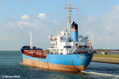
Vessel profile: MAYA S is a General Cargo with dimensions m x m.
This page combines live AIS, route history, probable destination signals, nearby traffic, and port activity for practical vessel monitoring.
The current position of vessel MAYA S is 36.00561 lat / 30.90095 lng. Updated: 2026-04-21 19:33:28 UTCNearest reference points:
- Near Kemer
- Near Antalya Free Zone
- Near Antalya
Currently sailing under the flag of Tanzania ![]()
Details:
Live Vessel MAYA S Analytics (details, animations, etc.)
Recent AIS points (UTC):
2026-04-21 16:57:33 UTC · 36.01861, 30.39864 · SOG 9.1 kn · COG 96°2026-04-21 17:47:55 UTC · 36.01418, 30.55834 · SOG 9.4 kn · COG 92°
2026-04-21 19:27:19 UTC · 36.00567, 30.88063 · SOG 9.8 kn · COG 91°
2026-04-21 19:33:28 UTC · 36.00561, 30.90095 · SOG 9.6 kn · COG 93°