 vesseltracker.com
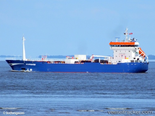
 LANG MAS III
Current Status
Where is the vessel?
LANG MAS III is currently in 23 nm S of Cape St. Jacques, based on AIS data received about 3d ago.
Latest AIS update:
Current position: 9.97476° N, 106.98032° E (23 nm S of Cape St. Jacques)
Average speed (last 7 days): Loading…
Average speed (last 30 days): Loading…
Vessel profile: LANG MAS III is a Oil/Chemical Tanker with dimensions m x m.
This page combines live AIS, route history, probable destination signals, nearby traffic, and port activity for practical vessel monitoring.
The current position of vessel LANG MAS III is 9.97476 lat / 106.98032 lng. Updated: 2026-04-07 21:48:53 UTCNearest reference points:
- 21 nm E of Cai Cui Port
- Near Cape St. Jacques
- 11 nm SE of Cape St. Jacques
Currently sailing under the flag of Tanzania ![]()
Details:
Live Vessel LANG MAS III Analytics (details, animations, etc.)
Recent AIS points (UTC):
2026-04-07 18:42:23 UTC · 10.25519, 106.99433 · SOG 6.1 kn · COG -1°2026-04-07 21:48:53 UTC · 9.97476, 106.98032 · SOG 6 kn · COG -1°
2026-04-07 21:48:53 UTC · 9.97476, 106.98032 · SOG 6 kn · COG -1°
2026-04-07 21:48:53 UTC · 9.97476, 106.98032 · SOG 6 kn · COG -1°