 vesseltracker.com
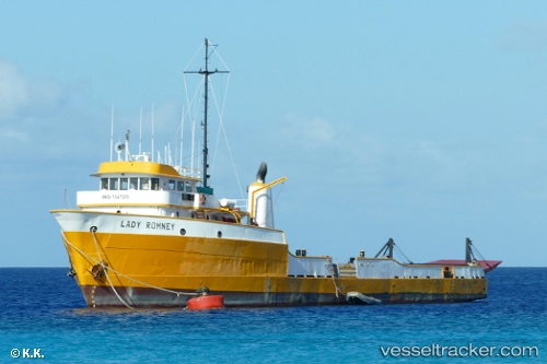
Lady.romney
Current StatusWhere is the vessel?
Lady.romney is currently in Near Port Purcell, based on AIS data received about 1h ago.
Latest AIS update:
Current position: 18.40252° N, 64.58199° W (Near Port Purcell)
Average speed (last 7 days): Loading…
Average speed (last 30 days): Loading…
Vessel profile: Lady.romney is a Offshore Tug Supply Ship with dimensions 10m x 63m.
This page combines live AIS, route history, probable destination signals, nearby traffic, and port activity for practical vessel monitoring.
The current position of vessel Lady.romney is 18.40252 lat / -64.58199 lng. Updated: 2026-04-07 21:42:00 UTCNearest reference points:
- Near Norman Island
- Near Spanish Town
- Near Charlotte Amalie
Details:
Live Vessel Lady.romney Analytics (details, animations, etc.)
Recent AIS points (UTC):
2026-04-07 15:44:15 UTC · 18.42564, -64.60958 · SOG 0 kn · COG -1°2026-04-07 17:28:05 UTC · 18.42563, -64.60958 · SOG 0 kn · COG -1°
2026-04-07 19:44:35 UTC · 18.42571, -64.60960 · SOG 0 kn · COG -1°
2026-04-07 21:42:00 UTC · 18.40252, -64.58199 · SOG 7.3 kn · COG -1°