 vesseltracker.com
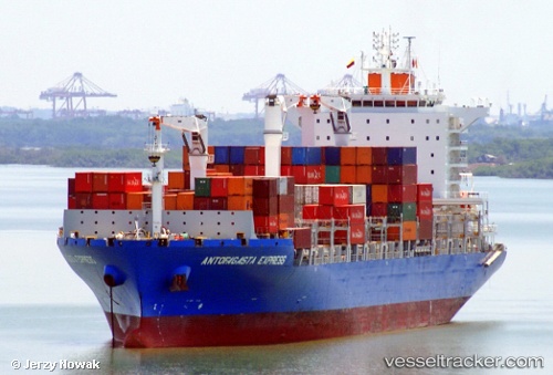
 NC BRISA
Current Status
Where is the vessel?
NC BRISA is currently in 23 nm SE of PORTO DO ACU, based on AIS data received about 1h ago.
Latest AIS update:
Current position: 22.15895° S, 40.76250° W (23 nm SE of PORTO DO ACU)
Average speed (last 7 days): Loading…
Average speed (last 30 days): Loading…
Vessel profile: NC BRISA is a Cargo with dimensions m x m.
This page combines live AIS, route history, probable destination signals, nearby traffic, and port activity for practical vessel monitoring.
The current position of vessel NC BRISA is -22.15895 lat / -40.76250 lng. Updated: 2026-04-22 14:15:06 UTCNearest reference points:
- Near PORTO DO ACU
- Near Fluminense FPSO
- 24 nm SE of Carapebus
Details:
Live Vessel NC BRISA Analytics (details, animations, etc.)
Recent AIS points (UTC):
2026-04-22 10:51:14 UTC · -22.65069, -41.36083 · SOG 12.9 kn · COG 50°2026-04-22 12:09:38 UTC · -22.45628, -41.13473 · SOG 12.9 kn · COG 48°
2026-04-22 13:24:14 UTC · -22.27894, -40.91477 · SOG 13 kn · COG 49°
2026-04-22 14:15:06 UTC · -22.15895, -40.76250 · SOG 13 kn · COG 53°