 vesseltracker.com
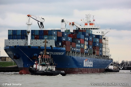
 NC BRUMA
Current Status
Where is the vessel?
NC BRUMA is currently in 13 nm S of Oriximiná, based on AIS data received less than 1h ago.
Latest AIS update:
Current position: 1.98599° S, 55.86991° W (13 nm S of Oriximiná)
Average speed (last 7 days): Loading…
Average speed (last 30 days): Loading…
Vessel profile: NC BRUMA is a Cargo with dimensions m x m.
This page combines live AIS, route history, probable destination signals, nearby traffic, and port activity for practical vessel monitoring.
The current position of vessel NC BRUMA is -1.98599 lat / -55.86991 lng. Updated: 2026-04-21 20:06:03 UTCNearest reference points:
- 15 nm NW of SANTAREM
Details:
Live Vessel NC BRUMA Analytics (details, animations, etc.)
Recent AIS points (UTC):
2026-04-21 16:11:53 UTC · -2.16333, -55.14833 · SOG 13 kn · COG -1°2026-04-21 18:17:54 UTC · -1.93333, -55.51333 · SOG 9 kn · COG -1°
2026-04-21 19:27:04 UTC · -1.95775, -55.72905 · SOG 12.6 kn · COG 251°
2026-04-21 20:06:03 UTC · -1.98599, -55.86991 · SOG 13.4 kn · COG 276°