 vesseltracker.com
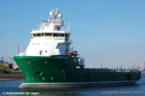
 OCEANICASUB XI
Current Status
Where is the vessel?
OCEANICASUB XI is currently in 56 nm N of Cidade de Angra dos Reis FPSO, based on AIS data received about 1h ago.
Latest AIS update:
Current position: 24.65971° S, 42.49286° W (56 nm N of Cidade de Angra dos Reis FPSO)
Average speed (last 7 days): Loading…
Average speed (last 30 days): Loading…
Vessel profile: OCEANICASUB XI is a Offshore Supply Ship with dimensions m x m.
This page combines live AIS, route history, probable destination signals, nearby traffic, and port activity for practical vessel monitoring.
The current position of vessel OCEANICASUB XI is -24.65971 lat / -42.49286 lng. Updated: 2026-04-06 03:41:08 UTCNearest reference points:
- 69 nm NE of Cidade de Angra dos Reis FPSO
- 34 nm S of Cidade de Angra dos Reis FPSO
- 49 nm S of SEPETIBA
Details:
Live Vessel OCEANICASUB XI Analytics (details, animations, etc.)
Recent AIS points (UTC):
2026-04-05 21:30:10 UTC · -24.65975, -42.49285 · SOG 0.2 kn · COG 99°2026-04-05 23:45:31 UTC · -24.65981, -42.49281 · SOG 0.3 kn · COG 99°
2026-04-06 01:29:01 UTC · -24.65970, -42.49286 · SOG 0.1 kn · COG 99°
2026-04-06 03:41:08 UTC · -24.65971, -42.49286 · SOG 0.1 kn · COG 99°