 vesseltracker.com
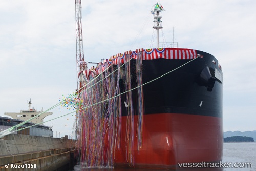
Forte De Sao Jose
Current StatusWhere is the vessel?
Forte De Sao Jose is currently in Near Trombetas, based on AIS data received about 1h ago.
Latest AIS update:
Current position: 1.45193° S, 56.40372° W (Near Trombetas)
Average speed (last 7 days): Loading…
Average speed (last 30 days): Loading…
Vessel profile: Forte De Sao Jose is a Bulk Carrier with dimensions 32m x 225m.
This page combines live AIS, route history, probable destination signals, nearby traffic, and port activity for practical vessel monitoring.
The current position of vessel Forte De Sao Jose is -1.45193 lat / -56.40372 lng. Updated: 2026-04-21 10:23:56 UTCNearest reference points:
- 15 nm NW of SANTAREM
- 142 nm N of PORTO TROMBETAS
- 156 nm N of PORTO TROMBETAS
Details:
Live Vessel Forte De Sao Jose Analytics (details, animations, etc.)
Recent AIS points (UTC):
2026-04-21 07:36:59 UTC · -1.45170, -56.40275 · SOG 0 kn · COG 307°2026-04-21 07:36:59 UTC · -1.45170, -56.40275 · SOG 0 kn · COG 307°
2026-04-21 09:37:01 UTC · -1.45170, -56.40259 · SOG 0 kn · COG 303°
2026-04-21 10:23:56 UTC · -1.45193, -56.40372 · SOG 0.2 kn · COG 77°