 vesseltracker.com
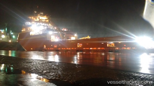
Bram Power
Current StatusWhere is the vessel?
Bram Power is currently in Near NITEROI, based on AIS data received less than 1h ago.
Latest AIS update:
Current position: 22.84573° S, 43.13182° W (Near NITEROI)
Average speed (last 7 days): Loading…
Average speed (last 30 days): Loading…
Vessel profile: Bram Power is a Offshore Tug Supply Ship with dimensions 22m x 92m.
This page combines live AIS, route history, probable destination signals, nearby traffic, and port activity for practical vessel monitoring.
The current position of vessel Bram Power is -22.84573 lat / -43.13182 lng. Updated: 2026-04-02 03:55:53 UTCNearest reference points:
- Near NITEROI
- Near Rio De Janeiro
- Near Santos Dumont Apt/Rio de Janeiro
Details:
Live Vessel Bram Power Analytics (details, animations, etc.)
Recent AIS points (UTC):
2026-04-01 21:22:49 UTC · -22.84670, -43.13264 · SOG 0 kn · COG 16°2026-04-01 23:55:51 UTC · -22.84678, -43.13249 · SOG 0 kn · COG -1°
2026-04-02 02:07:51 UTC · -22.84588, -43.13206 · SOG 0 kn · COG 197°
2026-04-02 03:55:53 UTC · -22.84573, -43.13182 · SOG 0 kn · COG 224°