 vesseltracker.com
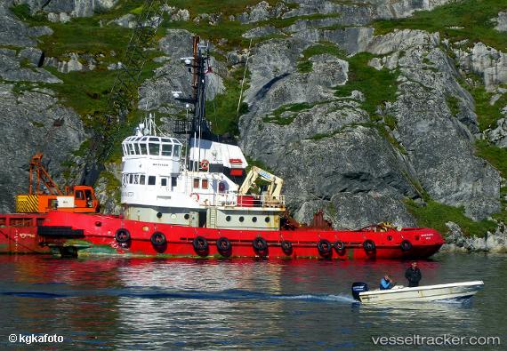
Masik Master
Current StatusWhere is the vessel?
Masik Master is currently in Near Godthab, based on AIS data received about 1h ago.
Latest AIS update:
Current position: 64.17164° N, 51.72571° W (Near Godthab)
Average speed (last 7 days): Loading…
Average speed (last 30 days): Loading…
Vessel profile: Masik Master is a Tug with dimensions 8m x 32m.
This page combines live AIS, route history, probable destination signals, nearby traffic, and port activity for practical vessel monitoring.
The current position of vessel Masik Master is 64.17164 lat / -51.72571 lng. Updated: 2026-04-03 05:36:33 UTCNearest reference points:
- Near Godthab
Details:
Live Vessel Masik Master Analytics (details, animations, etc.)
Recent AIS points (UTC):
2026-04-02 23:22:03 UTC · 64.17164, -51.72574 · SOG 0 kn · COG 21°2026-04-03 02:27:43 UTC · 64.17168, -51.72573 · SOG 0 kn · COG 25°
2026-04-03 03:45:52 UTC · 64.17166, -51.72571 · SOG 0 kn · COG 25°
2026-04-03 05:36:33 UTC · 64.17164, -51.72571 · SOG 0 kn · COG 24°