 vesseltracker.com
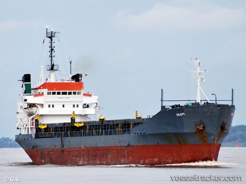
Vessel Brave Knight IMO: 7129336, MMSI: 450552000 Bulk Carrier
UTC, 31.17667, 33.83167, course: -1, speed: 0
UTC, 31.17667, 33.83167, course: -1, speed: 0
2026-03-19 09:24:44 UTC, 31.17667, 33.83167, course: -1, speed: 0
Live Vessel Brave Knight Analytics (details, animations, etc.)
Live AIS position: UTC. Near AL ARISH), updated 2026-03-19 09:24:44 UTC.Find the position of the vessel Brave Knight on the map. The latter are known coordinates and path.
marine traffic ship tracker show on live map
The current position of vessel Brave Knight is 31.17667 lat / 33.83167 lng. Updated: 2026-03-19 09:24:44 UTCCurrently sailing under the flag of Lebanon
Brave Knight built in 1972 year
Deadweight:
6348 tDetails:
Last coordinates of the vessel:
UTC, 31.17742, 33.82919, course: 168, speed: 0.2UTC, 31.17667, 33.83167, course: -1, speed: 0
UTC, 31.17667, 33.83167, course: -1, speed: 0
2026-03-19 09:24:44 UTC, 31.17667, 33.83167, course: -1, speed: 0