 vesseltracker.com
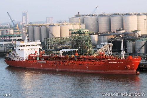
 DONA JOSEFINA
Current Status
Where is the vessel?
DONA JOSEFINA is currently in Near Penco, based on AIS data received about 1h ago.
Latest AIS update:
Current position: 36.70864° S, 72.98376° W (Near Penco)
Average speed (last 7 days): Loading…
Average speed (last 30 days): Loading…
Vessel profile: DONA JOSEFINA is a Oil/Chemical Tanker with dimensions m x m.
This page combines live AIS, route history, probable destination signals, nearby traffic, and port activity for practical vessel monitoring.
The current position of vessel DONA JOSEFINA is -36.70864 lat / -72.98376 lng. Updated: 2026-04-17 17:45:07 UTCNearest reference points:
- Near Arauco
- 28 nm W of Pichilemu
Details:
Live Vessel DONA JOSEFINA Analytics (details, animations, etc.)
Recent AIS points (UTC):
2026-04-17 12:21:51 UTC · -36.70829, -72.98502 · SOG 0.3 kn · COG 151°2026-04-17 14:02:59 UTC · -36.70857, -72.98376 · SOG 0 kn · COG 157°
2026-04-17 15:24:00 UTC · -36.70860, -72.98377 · SOG 0 kn · COG 158°
2026-04-17 17:45:07 UTC · -36.70864, -72.98376 · SOG 0 kn · COG 157°