 vesseltracker.com
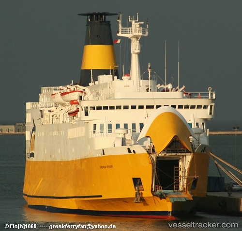
 Moby Niki
Current Status
Where is the vessel?
Moby Niki is currently in Near PIOMBINO, based on AIS data received less than 1h ago.
Latest AIS update:
Current position: 42.89646° N, 10.50275° E (Near PIOMBINO)
Average speed (last 7 days): Loading…
Average speed (last 30 days): Loading…
Vessel profile: Moby Niki is a Passenger Ro Ro Cargo Ship with dimensions 119m x 18m.
This page combines live AIS, route history, probable destination signals, nearby traffic, and port activity for practical vessel monitoring.
The current position of vessel Moby Niki is 42.89646 lat / 10.50275 lng. Updated: 2026-04-18 06:18:01 UTCNearest reference points:
- Near San Vincenzo
- Near Follonica
- Near Donoratico
Currently sailing under the flag of Italy ![]()
Moby Niki built in 1974 year
Deadweight:
1198 tDetails:
Live Vessel Moby Niki Analytics (details, animations, etc.)
Recent AIS points (UTC):
2026-04-18 00:01:45 UTC · 42.92996, 10.54664 · SOG 0 kn · COG 49°2026-04-18 02:32:28 UTC · 42.92997, 10.54664 · SOG 0 kn · COG 50°
2026-04-18 04:20:43 UTC · 42.84383, 10.37431 · SOG 15.6 kn · COG 215°
2026-04-18 06:18:01 UTC · 42.89646, 10.50275 · SOG 15.6 kn · COG 74°