 vesseltracker.com
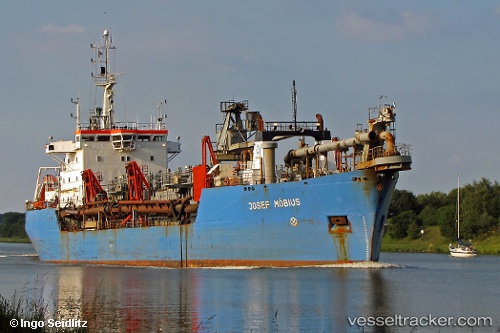
 WESTFORD
Current Status
Where is the vessel?
WESTFORD is currently in Near Beloslav, based on AIS data received about 2h ago.
Latest AIS update:
Current position: 43.18937° N, 27.75239° E (Near Beloslav)
Average speed (last 7 days): Loading…
Average speed (last 30 days): Loading…
Vessel profile: WESTFORD is a Hopper Dredger with dimensions 19m x 115m.
This page combines live AIS, route history, probable destination signals, nearby traffic, and port activity for practical vessel monitoring.
The current position of vessel WESTFORD is 43.18937 lat / 27.75239 lng. Updated: 2026-04-02 05:24:01 UTCNearest reference points:
- Near Beloslav
- Near Ignatievo
- Near Varna
Currently sailing under the flag of Belize ![]()
WESTFORD built in 1974 year
Deadweight:
6475 tDetails:
Live Vessel WESTFORD Analytics (details, animations, etc.)
Recent AIS points (UTC):
2026-04-01 23:29:46 UTC · 43.18939, 27.75232 · SOG 0 kn · COG 86°2026-04-02 01:42:30 UTC · 43.18833, 27.75167 · SOG 0 kn · COG -1°
2026-04-02 04:17:51 UTC · 43.18948, 27.75233 · SOG 0 kn · COG 86°
2026-04-02 05:24:01 UTC · 43.18937, 27.75239 · SOG 0 kn · COG 86°