 vesseltracker.com
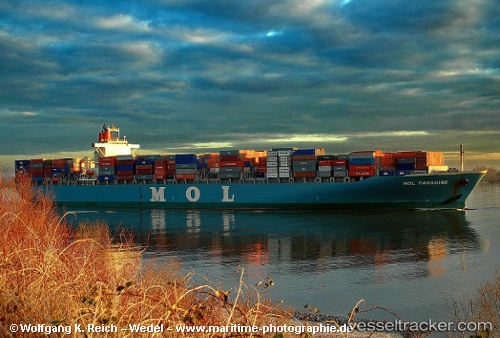
 BIG
BIG
Current Status
Where is the vessel?
BIG is currently in 50 nm NE of PENGERANG, based on AIS data received about 1h ago.
Latest AIS update:
Current position: 1.85913° N, 104.80507° E (50 nm NE of PENGERANG)
Average speed (last 7 days): Loading…
Average speed (last 30 days): Loading…
Vessel profile: BIG is a Container Ship with dimensions m x m.
This page combines live AIS, route history, probable destination signals, nearby traffic, and port activity for practical vessel monitoring.
The current position of vessel BIG is 1.85913 lat / 104.80507 lng. Updated: 2026-04-20 17:50:23 UTCNearest reference points:
- 51 nm NE of PENGERANG
- 53 nm NE of PENGERANG
- 45 nm NE of PENGERANG
Details:
Live Vessel BIG Analytics (details, animations, etc.)
Recent AIS points (UTC):
2026-04-20 14:11:22 UTC · 1.85702, 104.80422 · SOG 0 kn · COG 89°2026-04-20 15:26:23 UTC · 1.85683, 104.80427 · SOG 0 kn · COG 84°
2026-04-20 16:23:20 UTC · 1.85765, 104.80427 · SOG 0.1 kn · COG 105°
2026-04-20 17:50:23 UTC · 1.85913, 104.80507 · SOG 0 kn · COG 149°