 vesseltracker.com
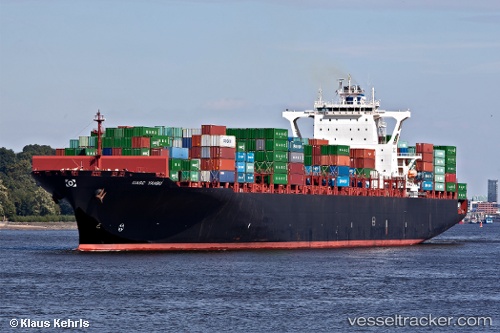
 TIME
TIME
Current Status
Where is the vessel?
TIME is currently in 40 nm NE of PENGERANG, based on AIS data received about 20h ago.
Latest AIS update:
Current position: 1.81285° N, 104.63254° E (40 nm NE of PENGERANG)
Average speed (last 7 days): Loading…
Average speed (last 30 days): Loading…
Vessel profile: TIME is a Container Ship with dimensions m x m.
This page combines live AIS, route history, probable destination signals, nearby traffic, and port activity for practical vessel monitoring.
The current position of vessel TIME is 1.81285 lat / 104.63254 lng. Updated: 2026-04-10 08:07:39 UTCNearest reference points:
- 45 nm NE of PENGERANG
- 47 nm NE of PENGERANG
- 51 nm NE of PENGERANG
Details:
Live Vessel TIME Analytics (details, animations, etc.)
Recent AIS points (UTC):
2026-04-10 01:37:38 UTC · 1.81418, 104.63626 · SOG 0.2 kn · COG 273°2026-04-10 04:13:39 UTC · 1.81601, 104.63250 · SOG 0.1 kn · COG 139°
2026-04-10 05:49:39 UTC · 1.81655, 104.63284 · SOG 0.1 kn · COG 155°
2026-04-10 08:07:39 UTC · 1.81285, 104.63254 · SOG 0.2 kn · COG 44°