 vesseltracker.com
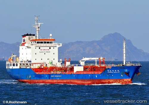
 EMMA
EMMA
Current Status
Where is the vessel?
EMMA is currently in 37 nm SE of Offshore Fujairah, based on AIS data received about 1h ago.
Latest AIS update:
Current position: 24.89009° N, 57.21846° E (37 nm SE of Offshore Fujairah)
Average speed (last 7 days): Loading…
Average speed (last 30 days): Loading…
Vessel profile: EMMA is a Tanker with dimensions m x m.
This page combines live AIS, route history, probable destination signals, nearby traffic, and port activity for practical vessel monitoring.
The current position of vessel EMMA is 24.89009 lat / 57.21846 lng. Updated: 2026-04-16 21:21:03 UTCNearest reference points:
- 42 nm SE of Offshore Fujairah
- 18 nm SE of SHINAS
- Near Offshore Fujairah
Details:
Live Vessel EMMA Analytics (details, animations, etc.)
Recent AIS points (UTC):
2026-04-16 13:58:24 UTC · 24.38811, 57.87362 · SOG 6 kn · COG 330°2026-04-16 15:46:09 UTC · 24.50741, 57.71051 · SOG 6.6 kn · COG 307°
2026-04-16 20:23:14 UTC · 24.81792, 57.29001 · SOG 6 kn · COG 312°
2026-04-16 21:21:03 UTC · 24.89009, 57.21846 · SOG 6 kn · COG 310°