 vesseltracker.com
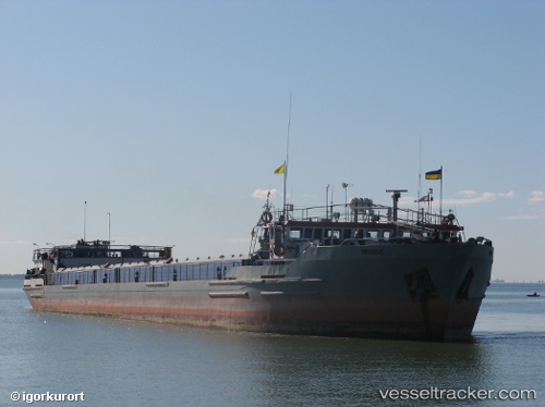
 ROSA
ROSA
Current Status
Where is the vessel?
ROSA is currently in 14 nm SW of Villa Hernandarias, based on AIS data received less than 1h ago.
Latest AIS update:
Current position: 31.42667° S, 60.14833° W (14 nm SW of Villa Hernandarias)
Average speed (last 7 days): Loading…
Average speed (last 30 days): Loading…
Vessel profile: ROSA is a General Cargo with dimensions m x m.
This page combines live AIS, route history, probable destination signals, nearby traffic, and port activity for practical vessel monitoring.
The current position of vessel ROSA is -31.42667 lat / -60.14833 lng. Updated: 2026-04-19 19:41:03 UTCNearest reference points:
- Near Puerto Alumbrera
- Near Quebracho/San Lorenzo
- 10 nm NW of San Pedro
Details:
Live Vessel ROSA Analytics (details, animations, etc.)
Recent AIS points (UTC):
2026-04-19 16:02:03 UTC · -31.57333, -60.28500 · SOG 3 kn · COG -1°2026-04-19 18:15:56 UTC · -31.47271, -60.21763 · SOG 3.9 kn · COG -1°
2026-04-19 19:20:03 UTC · -31.44667, -60.15167 · SOG 3 kn · COG -1°
2026-04-19 19:41:03 UTC · -31.42667, -60.14833 · SOG 3 kn · COG -1°