 vesseltracker.com
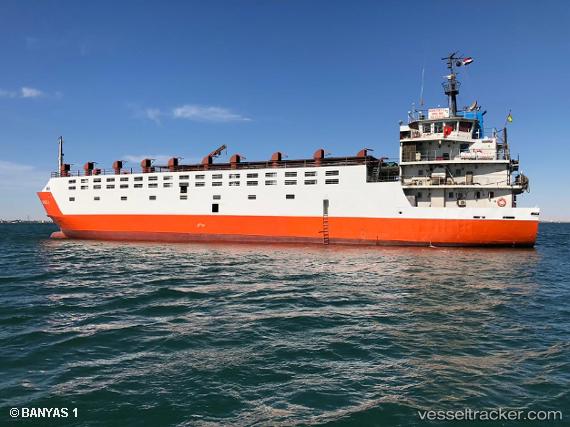
Banyas 1
Current StatusWhere is the vessel?
Banyas 1 is currently in 13 nm NW of BOSASO, based on AIS data received about 1h ago.
Latest AIS update:
Current position: 11.38881° N, 48.98817° E (13 nm NW of BOSASO)
Average speed (last 7 days): Loading…
Average speed (last 30 days): Loading…
Vessel profile: Banyas 1 is a General Cargo Ship with dimensions 13m x 124m.
This page combines live AIS, route history, probable destination signals, nearby traffic, and port activity for practical vessel monitoring.
The current position of vessel Banyas 1 is 11.38881 lat / 48.98817 lng. Updated: 2026-04-03 18:58:27 UTCDetails:
Live Vessel Banyas 1 Analytics (details, animations, etc.)
Recent AIS points (UTC):
2026-04-03 13:49:09 UTC · 11.29146, 49.17870 · SOG 0 kn · COG -1°2026-04-03 15:57:23 UTC · 11.30841, 49.15904 · SOG 1.9 kn · COG -1°
2026-04-03 18:22:45 UTC · 11.35422, 49.07021 · SOG 8.8 kn · COG -1°
2026-04-03 18:58:27 UTC · 11.38881, 48.98817 · SOG 8.9 kn · COG -1°