 vesseltracker.com
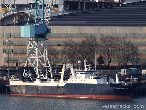
Island Enterprise
Current StatusWhere is the vessel?
Island Enterprise is currently in 76 nm W of Lenard Harbour, based on AIS data received less than 1h ago.
Latest AIS update:
Current position: 55.20130° N, 164.61436° W (76 nm W of Lenard Harbour)
Average speed (last 7 days): Loading…
Average speed (last 30 days): Loading…
Vessel profile: Island Enterprise is a Fishing Vessel with dimensions 14m x 92m.
This page combines live AIS, route history, probable destination signals, nearby traffic, and port activity for practical vessel monitoring.
The current position of vessel Island Enterprise is 55.20130 lat / -164.61436 lng. Updated: 2026-03-31 21:24:41 UTCNearest reference points:
- Near Lenard Harbour
- Near Dutch Harbor
Details:
Live Vessel Island Enterprise Analytics (details, animations, etc.)
Recent AIS points (UTC):
2026-03-31 15:38:21 UTC · 55.23500, -164.74667 · SOG 3 kn · COG -1°2026-03-31 17:50:00 UTC · 55.22471, -164.55750 · SOG 3.8 kn · COG 108°
2026-03-31 20:22:01 UTC · 55.23194, -164.56470 · SOG 4 kn · COG 351°
2026-03-31 21:24:41 UTC · 55.20130, -164.61436 · SOG 3.7 kn · COG 156°