 vesseltracker.com
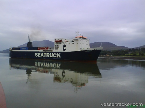
 LADY ROZ
Current Status
Where is the vessel?
LADY ROZ is currently in 39 nm SW of Jeddah, based on AIS data received about 1h ago.
Latest AIS update:
Current position: 20.88572° N, 38.78733° E (39 nm SW of Jeddah)
Average speed (last 7 days): Loading…
Average speed (last 30 days): Loading…
Vessel profile: LADY ROZ is a Ro-Ro Cargo with dimensions m x m.
This page combines live AIS, route history, probable destination signals, nearby traffic, and port activity for practical vessel monitoring.
The current position of vessel LADY ROZ is 20.88572 lat / 38.78733 lng. Updated: 2026-04-18 02:23:14 UTCNearest reference points:
- 10 nm SW of Jeddah
- Near Jeddah
- Near Tusdeer Free Zone
Currently sailing under the flag of Cameroon ![]()
Details:
Live Vessel LADY ROZ Analytics (details, animations, etc.)
Recent AIS points (UTC):
2026-04-17 16:33:31 UTC · 19.59569, 37.67301 · SOG 0 kn · COG -1°2026-04-17 23:37:25 UTC · 19.60104, 37.34661 · SOG 0 kn · COG -1°
2026-04-17 23:37:25 UTC · 19.60104, 37.34661 · SOG 0 kn · COG -1°
2026-04-18 02:23:14 UTC · 20.88572, 38.78733 · SOG 5 kn · COG -1°