 vesseltracker.com
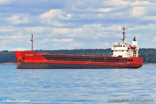
Kangalassy
Current StatusWhere is the vessel?
Kangalassy is currently in Near Aktau, based on AIS data received about 1h ago.
Latest AIS update:
Current position: 43.55808° N, 51.21082° E (Near Aktau)
Average speed (last 7 days): Loading…
Average speed (last 30 days): Loading…
Vessel profile: Kangalassy is a General Cargo Ship with dimensions 13m x 82m.
This page combines live AIS, route history, probable destination signals, nearby traffic, and port activity for practical vessel monitoring.
The current position of vessel Kangalassy is 43.55808 lat / 51.21082 lng. Updated: 2026-03-28 12:05:56 UTCNearest reference points:
- 12 nm S of Aktau
- 24 nm W of Kuryk
- 35 nm W of Kuryk
Details:
Live Vessel Kangalassy Analytics (details, animations, etc.)
Recent AIS points (UTC):
2026-03-28 06:05:55 UTC · 43.55545, 51.21218 · SOG 0.6 kn · COG 150°2026-03-28 07:35:55 UTC · 43.55715, 51.21202 · SOG 0.4 kn · COG 167°
2026-03-28 10:05:54 UTC · 43.55775, 51.21085 · SOG 1 kn · COG 131°
2026-03-28 12:05:56 UTC · 43.55808, 51.21082 · SOG 1 kn · COG 173°