 vesseltracker.com
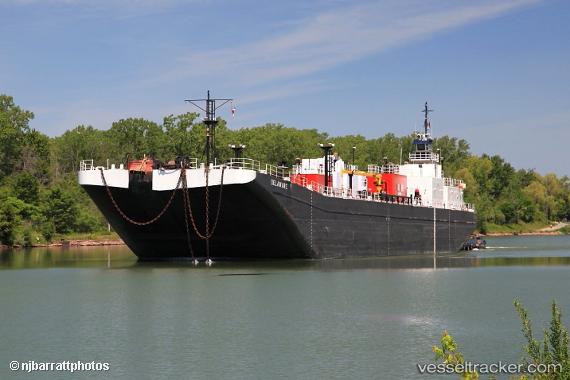
 Calusa Coast
Current Status
Where is the vessel?
Calusa Coast is currently in Near Marcus Hook, based on AIS data received about 1h ago.
Latest AIS update:
Current position: 39.80520° N, 75.40486° W (Near Marcus Hook)
Average speed (last 7 days): Loading…
Average speed (last 30 days): Loading…
Vessel profile: Calusa Coast is a Tug with dimensions 32m x 32m.
This page combines live AIS, route history, probable destination signals, nearby traffic, and port activity for practical vessel monitoring.
The current position of vessel Calusa Coast is 39.80520 lat / -75.40486 lng. Updated: 2026-04-18 02:29:19 UTCNearest reference points:
- Near Trainer
- Near Wilmington
- Near Brooklawn
Currently sailing under the flag of USA ![]()
Calusa Coast built in 1978 year
Details:
Live Vessel Calusa Coast Analytics (details, animations, etc.)
Recent AIS points (UTC):
2026-04-17 20:05:29 UTC · 39.80021, -75.41891 · SOG 0 kn · COG 59°2026-04-17 21:58:20 UTC · 39.80040, -75.41882 · SOG 0 kn · COG 57°
2026-04-18 00:06:49 UTC · 39.80439, -75.40954 · SOG 0 kn · COG 59°
2026-04-18 02:29:19 UTC · 39.80520, -75.40486 · SOG 0 kn · COG 246°