 vesseltracker.com
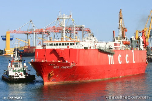
Sea Anemos
Current StatusWhere is the vessel?
Sea Anemos is currently in 16 nm E of Barrow Island, based on AIS data received less than 1h ago.
Latest AIS update:
Current position: 20.71701° S, 115.82354° E (16 nm E of Barrow Island)
Average speed (last 7 days): Loading…
Average speed (last 30 days): Loading…
Vessel profile: Sea Anemos is a Vehicles Carrier with dimensions 17m x 106m.
This page combines live AIS, route history, probable destination signals, nearby traffic, and port activity for practical vessel monitoring.
The current position of vessel Sea Anemos is -20.71701 lat / 115.82354 lng. Updated: 2026-04-13 09:54:11 UTCNearest reference points:
- 11 nm E of Port Walcot
Details:
Live Vessel Sea Anemos Analytics (details, animations, etc.)
Recent AIS points (UTC):
2026-04-13 04:21:09 UTC · -20.71553, 115.82104 · SOG 0.1 kn · COG 74°2026-04-13 05:23:10 UTC · -20.71613, 115.82140 · SOG 0 kn · COG -1°
2026-04-13 07:21:12 UTC · -20.71688, 115.82245 · SOG 0 kn · COG 20°
2026-04-13 09:54:11 UTC · -20.71701, 115.82354 · SOG 0 kn · COG 351°