 vesseltracker.com
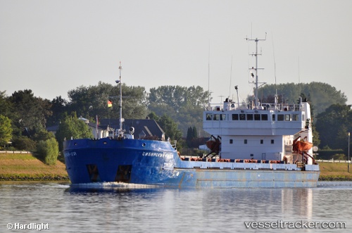
 BADADA
Current Status
Where is the vessel?
BADADA is currently in Near Astrakhan, based on AIS data received about 4d ago.
Latest AIS update:
Current position: 46.36745° N, 48.01330° E (Near Astrakhan)
Average speed (last 7 days): Loading…
Average speed (last 30 days): Loading…
Vessel profile: BADADA is a General Cargo Ship with dimensions 129m x 16m.
This page combines live AIS, route history, probable destination signals, nearby traffic, and port activity for practical vessel monitoring.
The current position of vessel BADADA is 46.36745 lat / 48.01330 lng. Updated: 2026-04-07 10:55:17 UTCNearest reference points:
- Near Astrakhan
- Near Krasnyye Barrikady
- 20 nm N of Astrakhan
Currently sailing under the flag of Russia ![]()
BADADA built in 0 year
Deadweight:
0 tDetails:
Live Vessel BADADA Analytics (details, animations, etc.)
Recent AIS points (UTC):
2026-04-05 00:43:21 UTC · 46.03278, 48.38445 · SOG 18.6 kn · COG 28°2026-04-07 10:55:17 UTC · 46.36745, 48.01330 · SOG 0 kn · COG 28°
2026-04-07 10:55:17 UTC · 46.36745, 48.01330 · SOG 0 kn · COG 28°
2026-04-07 10:55:17 UTC · 46.36745, 48.01330 · SOG 0 kn · COG 28°