 vesseltracker.com
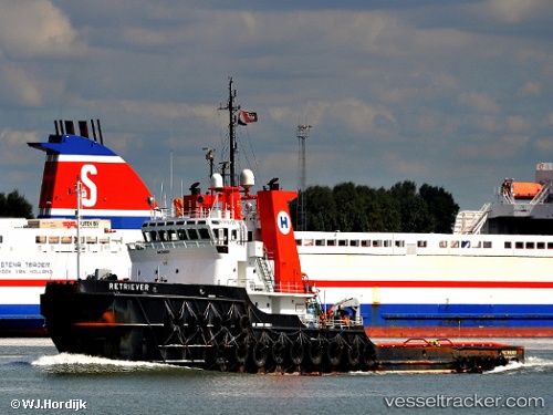
 Tula
Tula
Current Status
Where is the vessel?
Tula is currently in Near Tuxpan, based on AIS data received less than 1h ago.
Latest AIS update:
Current position: 20.94587° N, 97.39544° W (Near Tuxpan)
Average speed (last 7 days): Loading…
Average speed (last 30 days): Loading…
Vessel profile: Tula is a [tug.offshore_tug_supply] with dimensions 61m x 61m.
This page combines live AIS, route history, probable destination signals, nearby traffic, and port activity for practical vessel monitoring.
The current position of vessel Tula is 20.94587 lat / -97.39544 lng. Updated: 2026-04-03 21:30:38 UTCNearest reference points:
- 25 nm E of Tuxpan
- Near Veracruz
Currently sailing under the flag of Mexico ![]()
Tula built in 1982 year
Deadweight:
1754 tDetails:
Live Vessel Tula Analytics (details, animations, etc.)
Recent AIS points (UTC):
2026-04-03 15:42:33 UTC · 20.94583, -97.39535 · SOG 0 kn · COG 303°2026-04-03 17:57:38 UTC · 20.94576, -97.39546 · SOG 0 kn · COG 303°
2026-04-03 19:51:35 UTC · 20.94586, -97.39542 · SOG 0 kn · COG 303°
2026-04-03 21:30:38 UTC · 20.94587, -97.39544 · SOG 0 kn · COG 303°