 vesseltracker.com
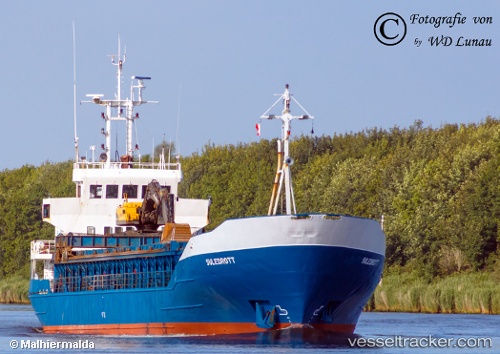
 Barents Ocean
Current Status
Where is the vessel?
Barents Ocean is currently in Near Stokksund, based on AIS data received less than 1h ago.
Latest AIS update:
Current position: 64.12113° N, 10.05678° E (Near Stokksund)
Average speed (last 7 days): Loading…
Average speed (last 30 days): Loading…
Vessel profile: Barents Ocean is a General Cargo Ship with dimensions 76m x 12m.
This page combines live AIS, route history, probable destination signals, nearby traffic, and port activity for practical vessel monitoring.
The current position of vessel Barents Ocean is 64.12113 lat / 10.05678 lng. Updated: 2026-04-03 11:45:20 UTCNearest reference points:
- Near Uthaug
- Near Vingsand
- Near Trondheim
Currently sailing under the flag of Norway ![]()
Barents Ocean built in 1984 year
Deadweight:
1837 tDetails:
Live Vessel Barents Ocean Analytics (details, animations, etc.)
Recent AIS points (UTC):
2026-04-03 05:43:18 UTC · 63.63859, 8.80523 · SOG 0 kn · COG 59°2026-04-03 07:59:34 UTC · 63.82321, 9.22408 · SOG 8.1 kn · COG 36°
2026-04-03 09:46:20 UTC · 64.00932, 9.51755 · SOG 7.5 kn · COG 47°
2026-04-03 11:45:20 UTC · 64.12113, 10.05678 · SOG 7.6 kn · COG 49°