 vesseltracker.com
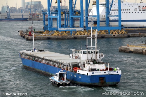
 STARLET
Current Status
Where is the vessel?
STARLET is currently in 10 nm S of Sigrion, based on AIS data received about 1h ago.
Latest AIS update:
Current position: 39.04833° N, 25.90667° E (10 nm S of Sigrion)
Average speed (last 7 days): Loading…
Average speed (last 30 days): Loading…
Vessel profile: STARLET is a General Cargo with dimensions m x m.
This page combines live AIS, route history, probable destination signals, nearby traffic, and port activity for practical vessel monitoring.
The current position of vessel STARLET is 39.04833 lat / 25.90667 lng. Updated: 2026-04-20 05:51:12 UTCNearest reference points:
- Near MITHYMNA
- 16 nm NW of Sigri Lesvou
- Near Baba Point
Currently sailing under the flag of Nauru ![]()
Details:
Live Vessel STARLET Analytics (details, animations, etc.)
Recent AIS points (UTC):
2026-04-20 01:56:19 UTC · 39.45788, 25.91942 · SOG 6.8 kn · COG 200°2026-04-20 03:38:59 UTC · 39.27345, 25.83077 · SOG 6.9 kn · COG 201°
2026-04-20 04:26:49 UTC · 39.18897, 25.79625 · SOG 6.6 kn · COG 151°
2026-04-20 05:51:12 UTC · 39.04833, 25.90667 · SOG 6 kn · COG -1°