 vesseltracker.com
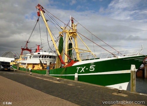
 Uk57 Hermina
Current Status
Where is the vessel?
Uk57 Hermina is currently in 214 nm NE of Saint George, based on AIS data received about 313d ago.
Latest AIS update:
Current position: 35.09897° N, 61.91343° W (214 nm NE of Saint George)
Average speed (last 7 days): Loading…
Average speed (last 30 days): Loading…
Vessel profile: Uk57 Hermina is a Fishing Vessel with dimensions 41m x 21m.
This page combines live AIS, route history, probable destination signals, nearby traffic, and port activity for practical vessel monitoring.
The current position of vessel Uk57 Hermina is 35.09897 lat / -61.91343 lng. Updated: 2025-06-11 06:24:42 UTCCurrently sailing under the flag of Netherlands ![]()
Details:
Live Vessel Uk57 Hermina Analytics (details, animations, etc.)
Recent AIS points (UTC):
2025-06-11 06:24:42 UTC · 35.09897, -61.91343 · SOG 13.5 kn · COG 188°