 vesseltracker.com
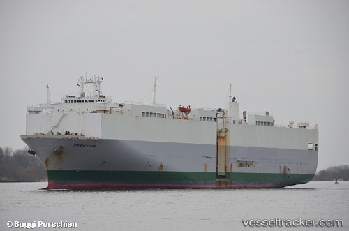
 Sea Patris
Current Status
Where is the vessel?
Sea Patris is currently in 46 nm SW of Kastellorizou (ex Megísti), based on AIS data received about 3h ago.
Latest AIS update:
Current position: 35.45462° N, 29.20895° E (46 nm SW of Kastellorizou (ex Megísti))
Average speed (last 7 days): Loading…
Average speed (last 30 days): Loading…
Vessel profile: Sea Patris is a Vehicles Carrier with dimensions 176m x 30m.
This page combines live AIS, route history, probable destination signals, nearby traffic, and port activity for practical vessel monitoring.
The current position of vessel Sea Patris is 35.45462 lat / 29.20895 lng. Updated: 2026-03-28 03:55:03 UTCNearest reference points:
- Near KAS
- Near Finike
- 108 nm S of Kastellorizou (ex Megísti)
Currently sailing under the flag of Panama ![]()
Sea Patris built in 1985 year
Deadweight:
13895 tDetails:
Live Vessel Sea Patris Analytics (details, animations, etc.)
Recent AIS points (UTC):
2026-03-27 22:22:30 UTC · 35.06897, 30.71452 · SOG 13.5 kn · COG 289°2026-03-28 00:24:27 UTC · 35.21082, 30.16455 · SOG 14 kn · COG 285°
2026-03-28 01:21:58 UTC · 35.27768, 29.90140 · SOG 14.2 kn · COG 285°
2026-03-28 03:55:03 UTC · 35.45462, 29.20895 · SOG 13.8 kn · COG 284°